

DEM Surface Tools 10.0
These tools correctly handle latitude /longitude data
Share
Program info
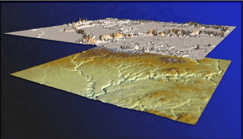
This extension provides you with tools to generate a variety of surface characteristics of a landscape, using both projected and unprojected (i.e. latitude / longitude) digital elevation model (DEM) rasters. These tools include: Surface Area and Ratio of a landscape; Slope, with 3 slope algorithm options; Aspect, with 3 aspect algorithm options; Hillshade, with optional hypsometric tinting; Multi-directional Oblique-Weighted Hillshade, with optional hypsometric tinting; Seven types of Landscape Curvature.
Details
Extensions

No information available
The data will be available later.


Comments